We left San Diego bright and early for our next stop, Dana Point. We got into the marina just as the late afternoon wind kicked up. The marina is tight, with short, single slips, but we made it in without too much drama. We walked up the hill to the nearest grocery store and enjoyed the spectacular view as we returned to Gypsy. The town is named after Richard Henry Dana, of Two Years Before the Mast fame.


The next day we headed off for another all day trip up to San Pedro. The entrance to San Pedro is shared with the Port of Los Angeles. The channel coming into the Port is about as wide as the Columbia River in Portland and over 50 feet deep. Thankfully it wasn’t too busy and we didn’t have to dodge anything big. We stayed at the Cabrillo Beach Yacht Club, a reciprocal yacht club, and enjoyed a nice dinner at their restaurant. We bought a couple of baseball hats.

On our way again the next morning to Marina Del Rey for a stay with Del Rey Yacht Club, another reciprocal. Cabrillo Beach felt very much like Rose City Yacht Club with a mix of sail and motor boats, most under 40 feet. Del Rey is a different league with the small boats starting at 40 feet. They were, however, gracious and welcoming. And they are within walking distance of a couple of good provisioning stores. While there we discovered that one of our food lockers had some serious damp. We’d hit some big waves on one of our days traveling and we didn’t have the plug in the anchor hawse pipe so we’d had to bail out a couple of gallons of water from our very shallow bilge. We didn’t think at the time to check the lockers. They were damp. Got them dried out, with no food loss, thankfully. The plug goes in now when we go out, even if it’s calm.

After a couple of nights at Del Rey, we headed for Ventura Yacht Club. At Ventura, we had an inelegant landing on the dock (the wind was blowing us off the dock) but we safely tied up. We met Braedon, the Youth Sailing director and guest dock person, and he invited us to a potluck that evening. The food and company were both excellent. One of the folks we met there, Jeff, is one of the Chubascos, the ham radio net we tune into every morning, so it was fun to put a face to the voice we’d heard on the radio. We had an extra day in Ventura due to waiting for weather, so we got caught up on laundry, wandered the docks and checked out the Channel Islands National Park Visitors Center. While we were at the yacht club, we got to meet another Chubasco, Tim who had come down to the club to meet with a friend.

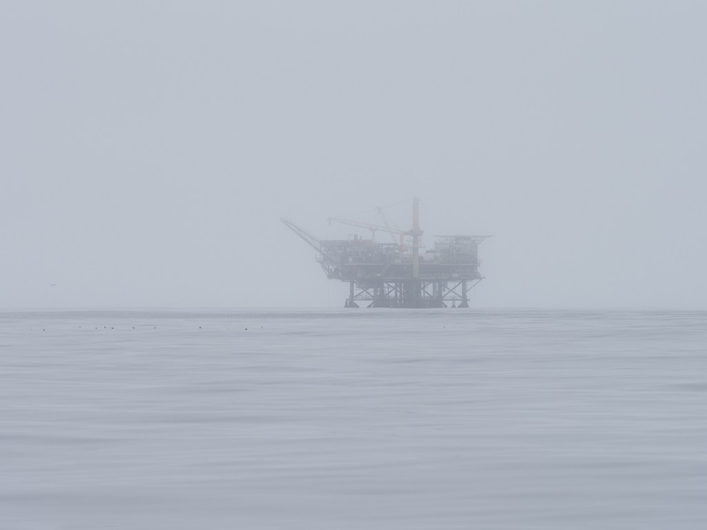

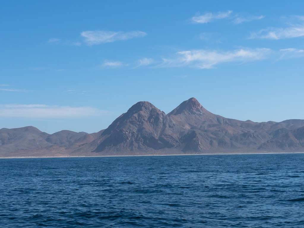
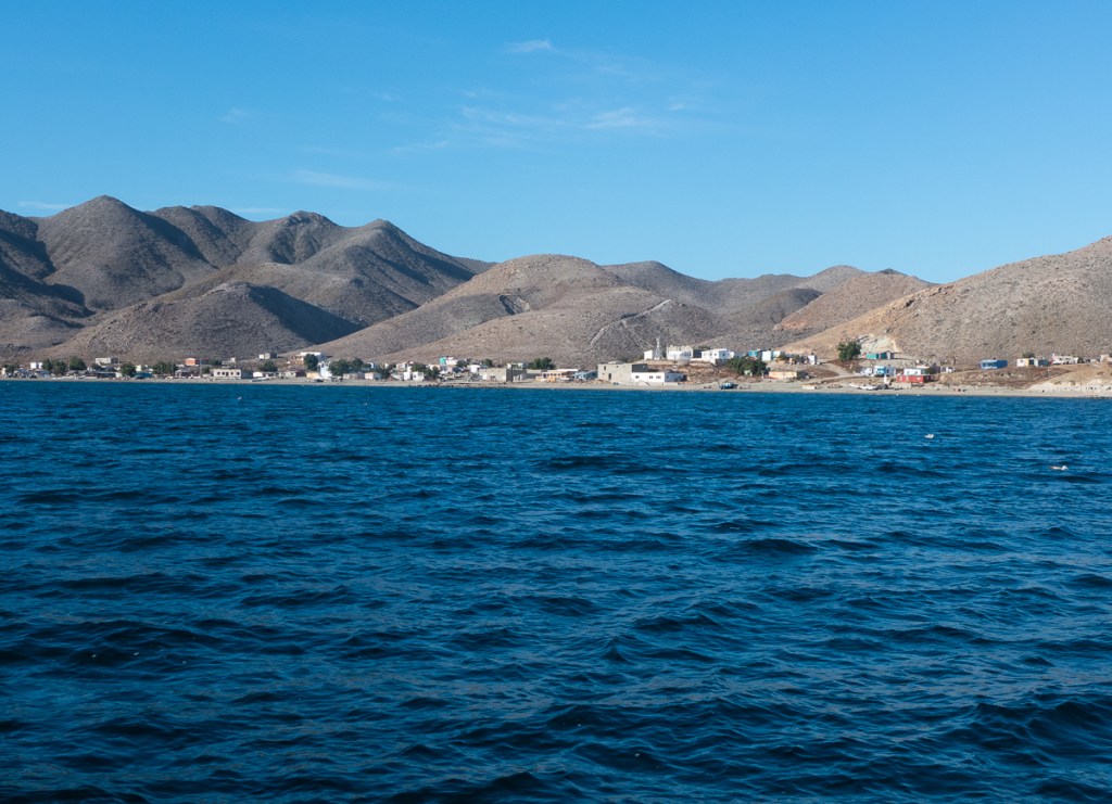
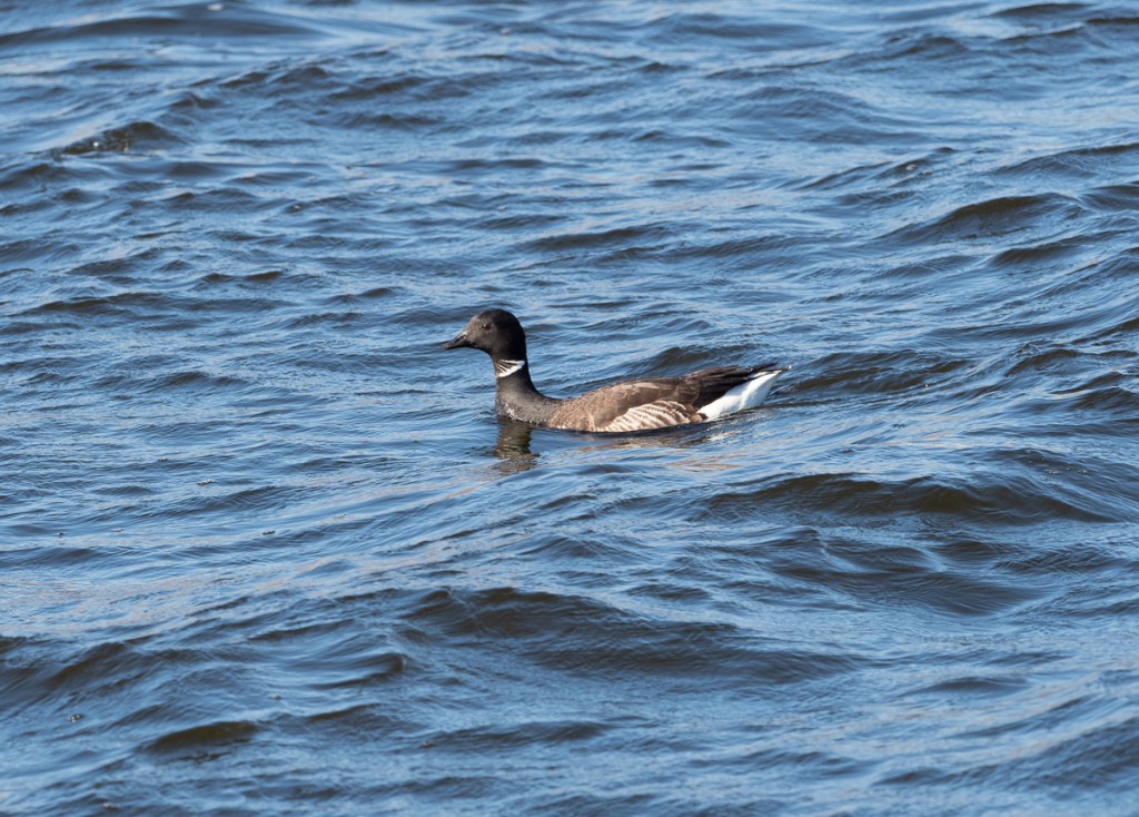
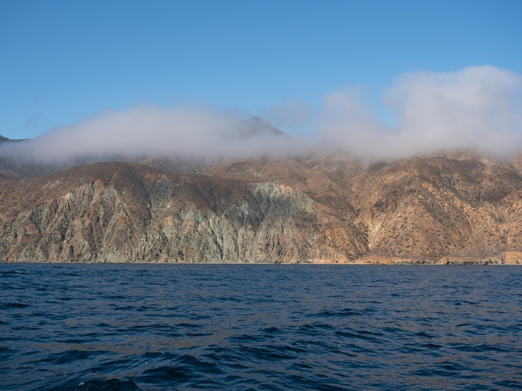
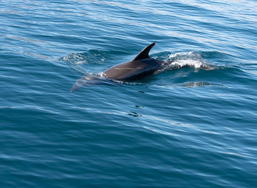
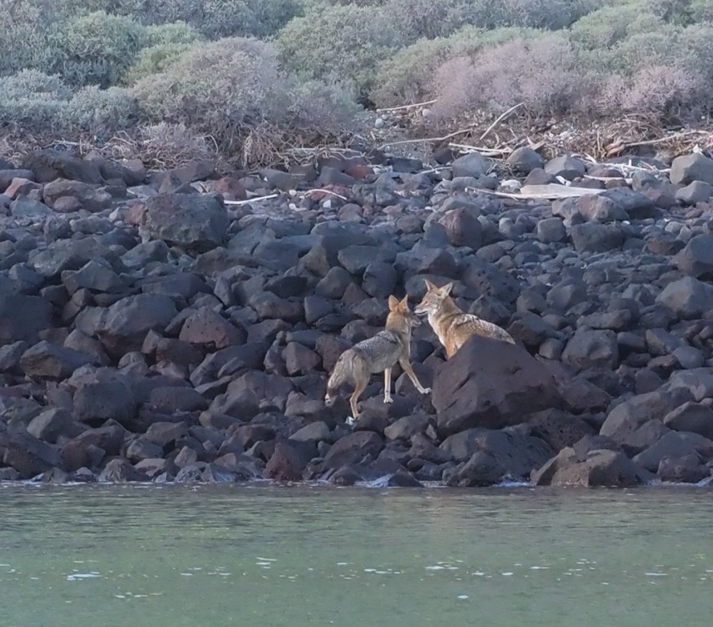
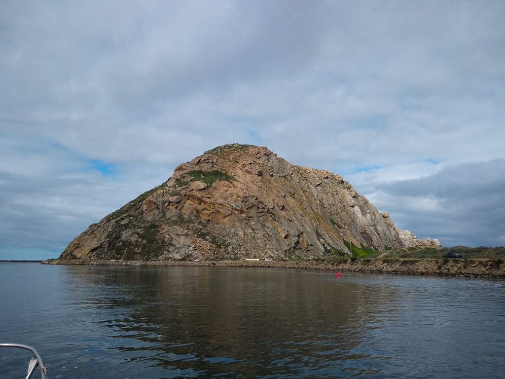
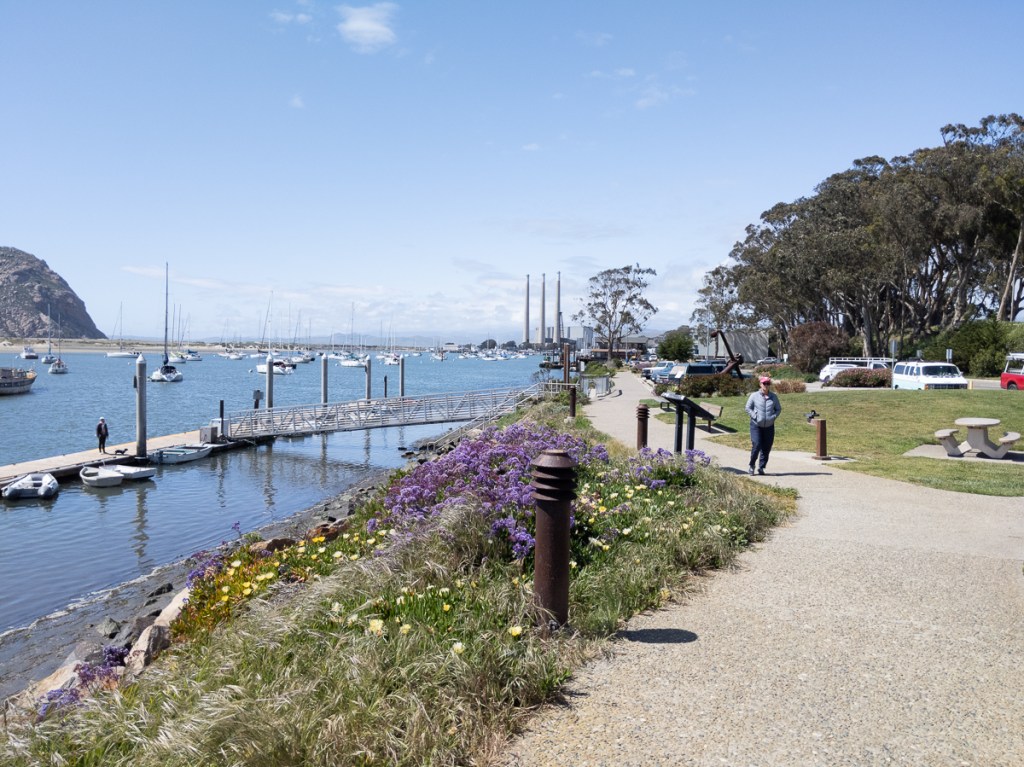
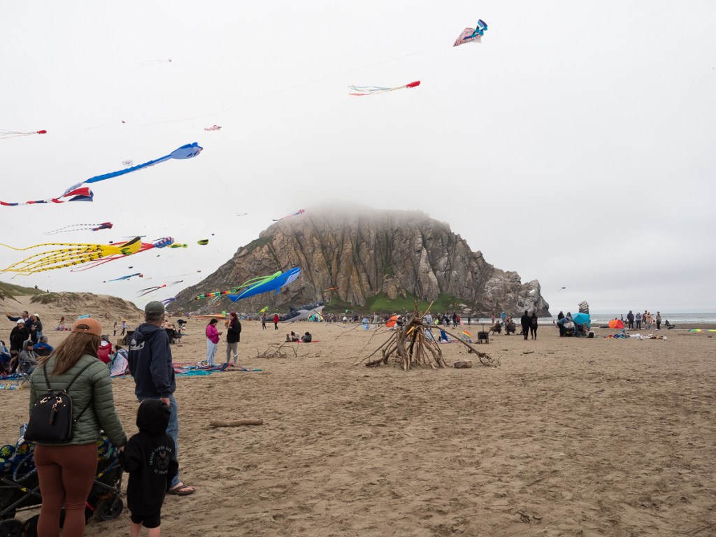
We left Ventura in fog and the next morning we arrived in Morro Bay. Here the fog was so thick, we had maybe a quarter mile of visibility. The whole trip was fog bound. The big oil platforms are surreal in the fog, and one of them gifted us with a splattering of little tarry blobs. Really difficult to clean off, even in the cold. We had a bouncy section around Point Conception and Point San Luis, but other than that is was flat calm. Coming into Morro Bay, we saw our first sea otters of the trip coming in, and then picked up a Morro Bay Yacht Club mooring ball.


We checked out the club’s happy hour and saw someone who looked familiar. It was the folks from Rocinante, a couple that we’d met down in the Sea of Cortez who now have their boat in Hawaii. We had a quick catchup and we headed back to Gypsy for a good night’s sleep.


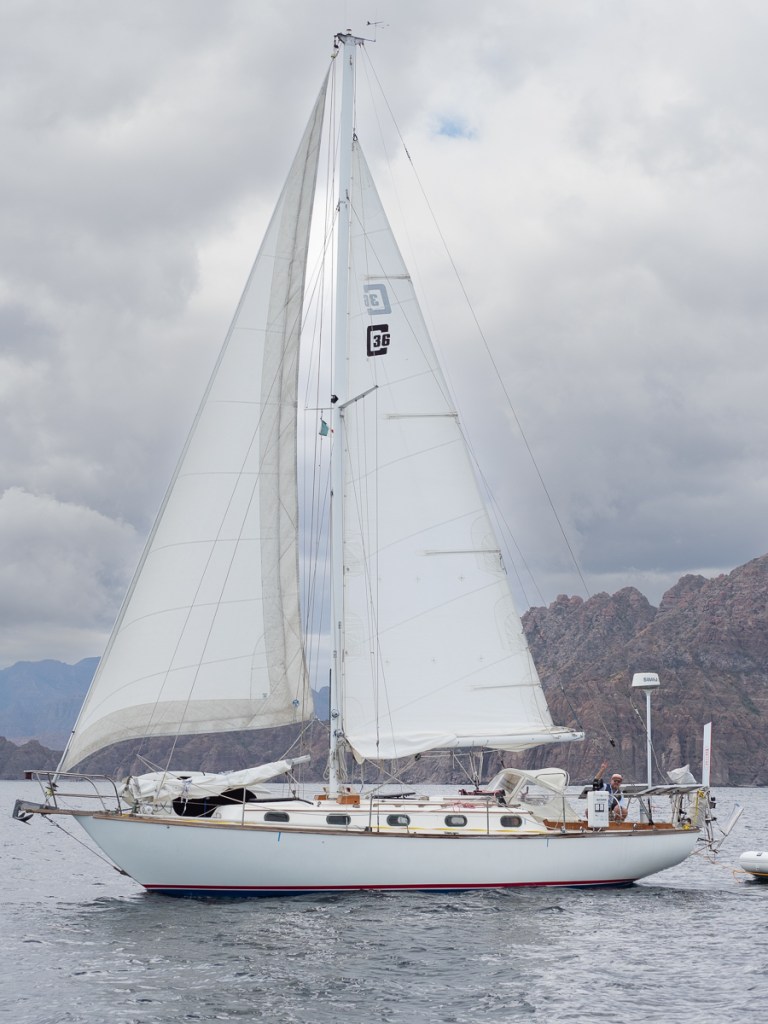
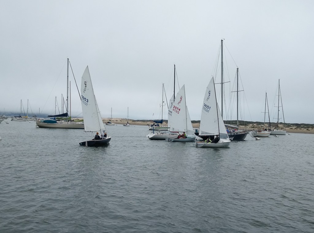
Once the weekend dinghy races were done, we could move to the club dock to wait for our weather window to head north again. After a five day stay in Morro Bay, we had weather we could work with. Another overnighter and we were in Monterey.
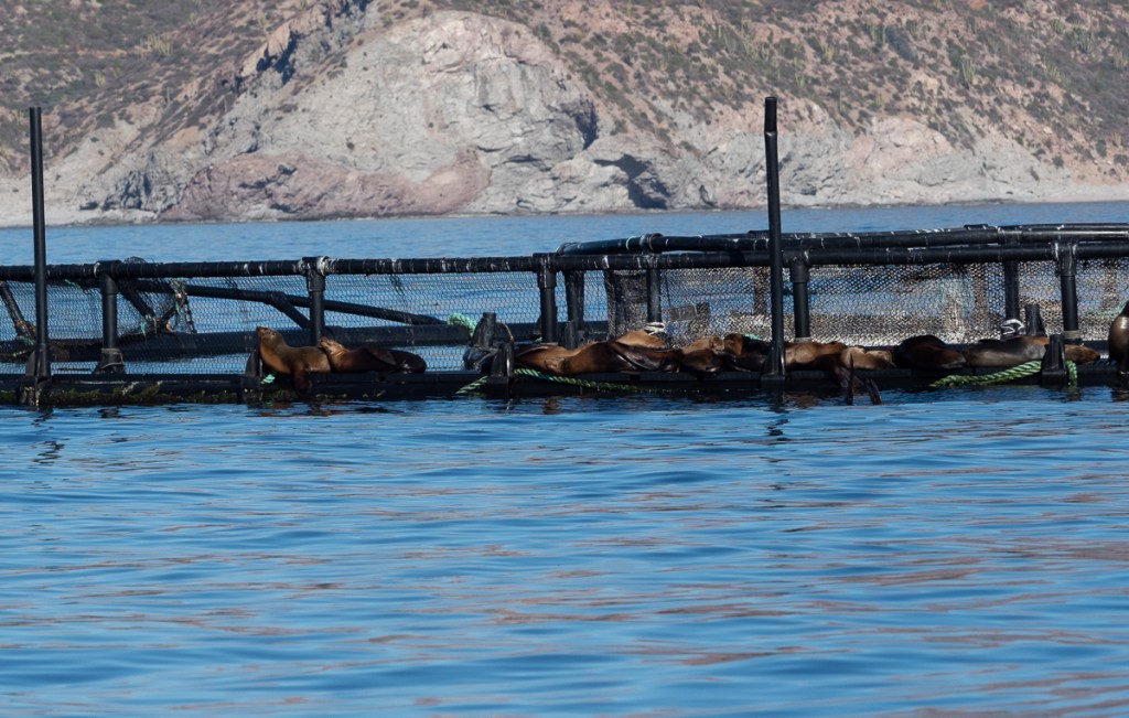
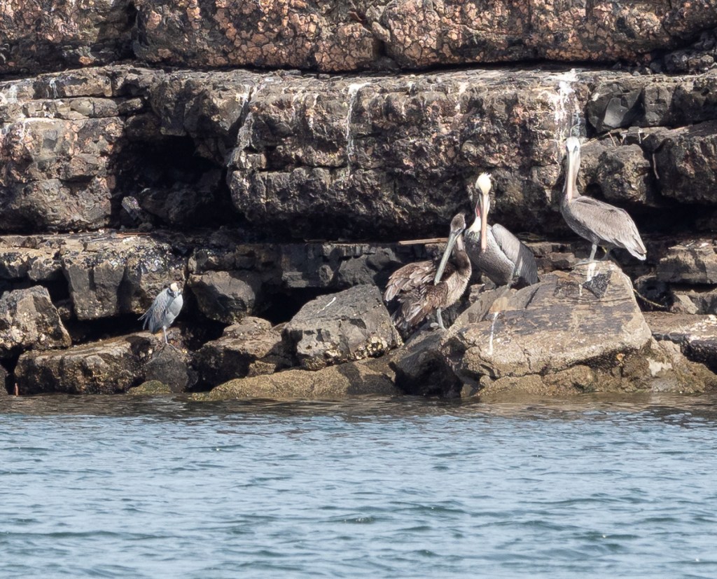
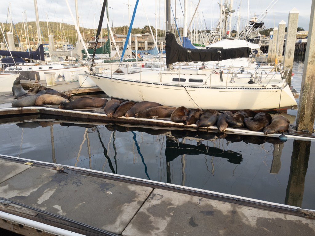
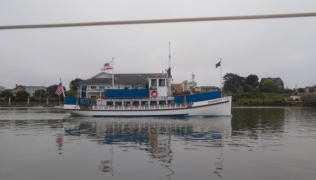
Monterey is the home of many California sea lions, many of whom decided the empty dock was their new basking place. We noticed electric strips along the docks, installed since we were here in 2019, but they seemed to have no effect on the sea lions. The next day we found out that our section wasn’t turned on. Once that was rectified, the population dropped pretty quickly except for one enterprising animal who sprawled out parallel to the strips.


We were in Monterey for a couple of days. We had a lovely evening with friends Tad and Norma, got some chilly, cloudy walks on the beach, and a sunny walk down to Cannery Row. Our next stop was Santa Cruz, just across the bay. It was a foggy trip with drizzle, but the sun did come out for a bit once we tied up in the marina. The next morning we headed on to Half Moon Bay for an overnight stop and then on to San Francisco.


Instead of opting for the free anchorage in Richardson Bay, we tied up at the Marina Yacht Harbor so that we could easily walk into town. We watched the racers sail out of the marina, we walked up to Chinatown, went to the Maritime Museum and the visitor’s center for the historic ships, meandered through Pier 39. and enjoyed some sunny days. Of course, we left in fog. It sort of cleared as we headed into Bodega Bay, with its long, narrow channel. When we left Spud Point Marina the next morning, a great name for a marina if ever there was one, the fog was thick again. We got some big waves and winds gusting to the high 20s as we passed Punta Arena, but that was just the warm up for Cape Mendocino, where the waves were bigger and the gusts were up to 40 knots.

We made it safely to Eureka and Woodley Island Marina. As we were coming in, we passed the Essayons, an Army Corps of Engineers dredge that we’d sailed by years ago at the Columbia River bar. Woodley Island has no good access to the town, but there’s a restaurant, a laundry, and the first pay showers we’d encountered (all the rest had been free). While Nina did laundry, Bill chatted with the meteorologists at NOAA and got the big weather picture. Unsurprisingly, the whole coast was covered in clouds, and would be for days. We left the next morning around sunrise to overcast skies, no fog though, and calm seas. We arrived in Crescent City early evening, had dinner at a Mexican restaurant, and slept. Our next leg was an overnighter to Coos Bay. We started seeing crab pot floats, so we headed out a little deeper, to around 250 feet. When the seas are calm and everything is gray, they are easier to spot, and there are many of them to avoid.


What we weren’t able to avoid once we tied up at the marina in Charleston, was the weather. We’ve been here almost two weeks waiting for decent ocean weather, for waves less than six feet spaced seven seconds apart with less than 15 to 20 knots of wind on our nose. It’s been cold, windy, and mostly cloudy the whole time. Gypsy’s main function has been to provide a wind break for all the folks who crab off the docks. We met the other sailboat, Adventure, that’s been holed up waiting for autopilot parts and a weather to head north. We enjoyed the Charleston Marine Life Center. We hiked out to the Coast Guard tower. For a dollar each, we can ride to bus into North Bend to shop. We’ve done that twice and we recognize fellow passengers. And we wait. Probably another week. We may have to take up crabbing.